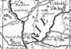
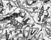
| The Forest of Anderida during the Roman Occupation of Britain - c 500 | 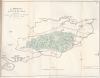 |
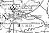
| Manors in the Weald of Kent referred to in the Survey of Domesday - 1086 | 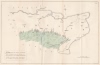 |
| The Manors and Possessions in Kent held by Ecclesiastics in AD 1086 - 1086 | 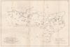 |
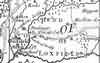
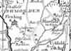
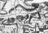
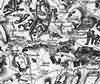
| Sussex by John Norden and augmented by John Speed - 1610 | 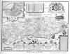 |
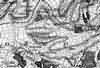
| Sussex by Jan Blaeu - 1645 | 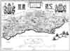 |
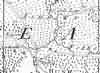
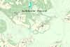
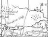
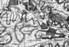
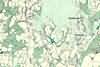
| Ashdown Forest by Barry Lucas after Kelton - c 1693 | 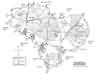 |
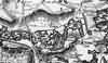
| Sussex by Robert Morden - 1695 | 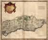 |
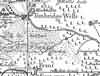
| Sussex by Thomas Kitchin - 1750 | 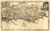 |
| Sussex by Emanuel Bowen - 1756 | 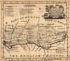 |
| A New Map of Sussex by Thomas Kitchin - 1763 | 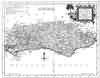 |
| Sussex by John Cary - 1st Sept 1787 | 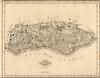 |
| Sussex by G.Cole and engraved by J.Roper - 1808 | 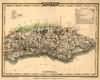 |
| Sussex by Thomas Moule - 1837 | 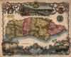 |
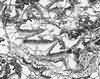
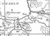
| Tunbridge Wells - 1839 |  |
| Sussex by Joshua Archer, Pentonville, London - 1840 |  |
| Sussex with the addition of the Railways by Mark Antony Lower - 1864 | 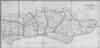 |
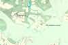
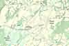
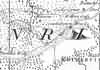
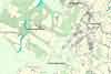
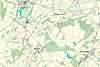
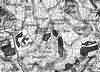
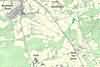
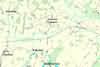
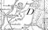
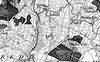
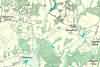
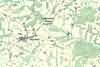
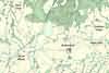
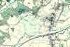
| Hadlow South West map |  |
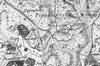
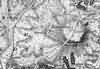
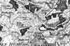
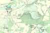
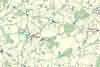
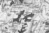
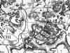
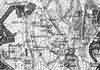
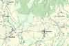
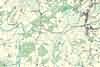
| Map of Stonegate and Ticehurst |  |
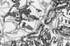
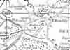
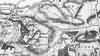
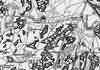
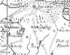
| Map of Penshurst |  |
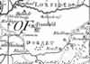
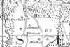
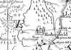
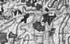
| Borowe or Manor of Alchorne in 1560 by Mr Chapman and Catherine Pullein - 1928 | 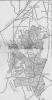 |
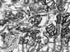
| Dewland Manor in 1675 by Catherine Pullein - 1928 | 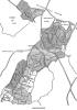 |
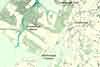
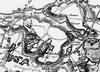
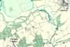
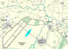
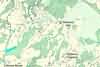
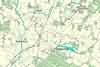
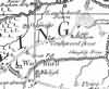
| Parish of Lingfield - 1933 | 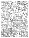 |