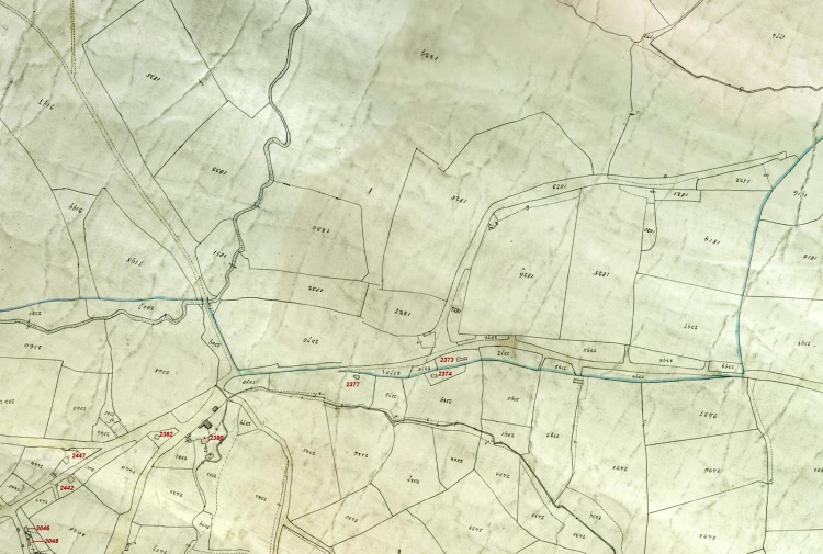
| Maynard's Gate, South East of Crowborough - 1839 |
| Computer enhanced version of the 1839 Rotherfield Tithe Map (Ref TDE 156 at ESRO) - image produced from the original with the permission of theKeep |
|
Size control: Medium ►►► Zoom control: Year control: |
|
The Weald is at Database version 14.05 which has ongoing updates to the 395,000 people; 9,000 places; 613 maps; 3,308 pictures, engravings and photographs; and 248 books loaded in the previous version